DEEP
LEARNING
VISUAL
SPACE
SIMULATION
SYSTEM
Revolutionizing Lunar Landings with AI-Driven Optical Navigation
We are at the forefront of innovation in lunar exploration, leveraging cutting-edge technologies to enhance precision and safety in lunar landings. Our proprietary DLVS3 Deep Learning Visual Space Simulation System is a game-changing platform designed to address the unique challenges of navigating and landing on the Moon, particularly in extreme lighting conditions near the lunar poles.
Key Features of Our Lunar Landing Technology
-
AI-Powered Optical Navigation (OPNAV)
Utilizes neural networks for reverse pose estimation, enabling autonomous navigation without reliance on Earth-based intervention. Overcomes limitations of traditional horizon-based and crater detection methods, which struggle in low-light conditions near the lunar poles.
-
Three-Stage Navigation Proc
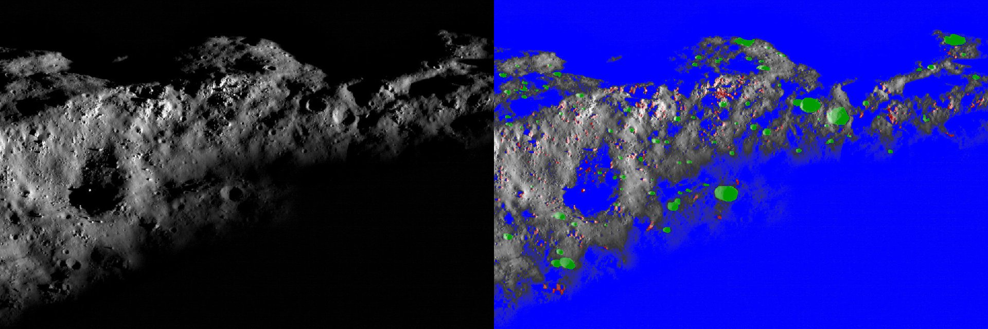
Observation and Transfer Orbit: Neural networks predict broad lunar areas and distance to the surface. Main Deceleration: Specialized networks refine location estimates based on altitude and region. Precision Braking and Landing: Pixel-precise segmentation ensures hazard avoidance, such as boulders and small craters.
-
High-Fidelity Synthetic Training Data
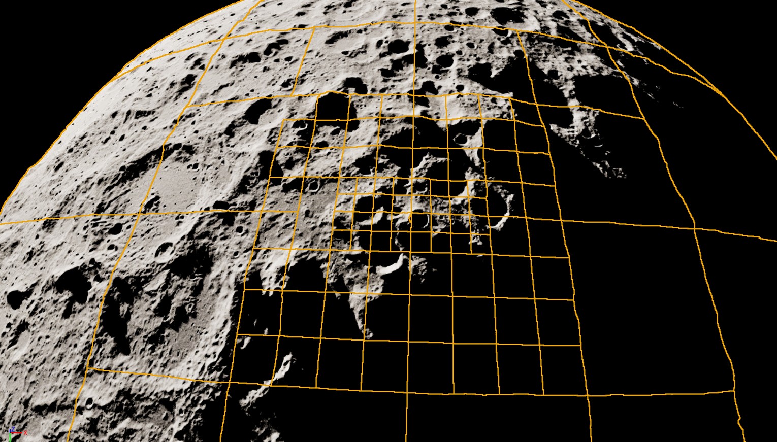
DLVS3 generates photorealistic datasets with resolutions as high as 10–100 cm per pixel, integrating real imagery from missions like Kaguya and Lunar Reconnaissance Orbiter (LRO). Adaptive resolution mapping enhances detail near polar regions, ensuring robust performance under diverse conditions.
-
Hazard Detection and Avoidance
Advanced neural networks detect surface hazards like boulders and craters with high precision. Real-time segmentation enables safe landing even in challenging terrains.
State-of-the-art lunar data
The most detailed lunar digital elevation model (DEM) is currently based on the Lunar Reconnaissance Orbiter (LRO), it represents the surface of the Lunar north and south pole areas with a resolution of approximately 5m per pixel using interpolation techniques. Maps generated from the laser altimeter (LOLA) data naturally lose their
resolution rapidly as moving away from the poles.
Higher resolution maps can be generated with more advanced sensor fusion techniques like Photogrammetry and Photoclinometry of the Narrow Angle Cameras (NACs) images. In this way, a resolution of up to 1m per pixel can be achieved. Ideally, not only topographical information but also an albedo map can be extracted to a limited extent.
Despite all this, there is not yet enough real image information available to train an artificial intelligence for pin-point automatic landing and safe avoidance of hazards (small craters, boulders).
Existing DEMs provide topographical data but lack complementary high-fidelity albedo information, reducing their effectiveness for optical navigation reliant on surface texture recognition.
Current lunar landers have largely avoided low-angle illumination landings (<10° Sun angle) due to these limitations, underscoring the need for an enhanced dataset pipeline capable of generating training material for
AI-based precision landing and terrain analysis.
This DLVS3 extension addresses these challenges by integrating real and synthetic datasets, ensuring higher accuracy, adaptability, and robustness for next-generation lunar exploration missions.
Lunar horizon
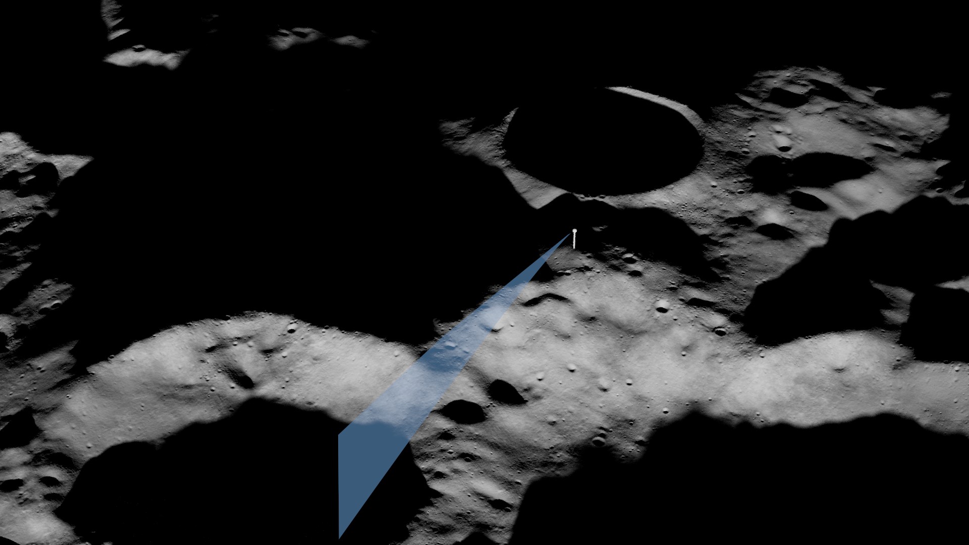
Horizon panoramic views during the descent phase of lunar landings provide a unique perspective of the Moon’s surface and its surroundings. These views are critical for navigation and situational awareness, enabling astronauts and autonomous systems to assess landing zones in real-time. Generate synthetic panoramic views helps address lighting challenges near the lunar poles, where low sun angles create extreme contrasts, improving precision in landing and hazard detection.

Hazards
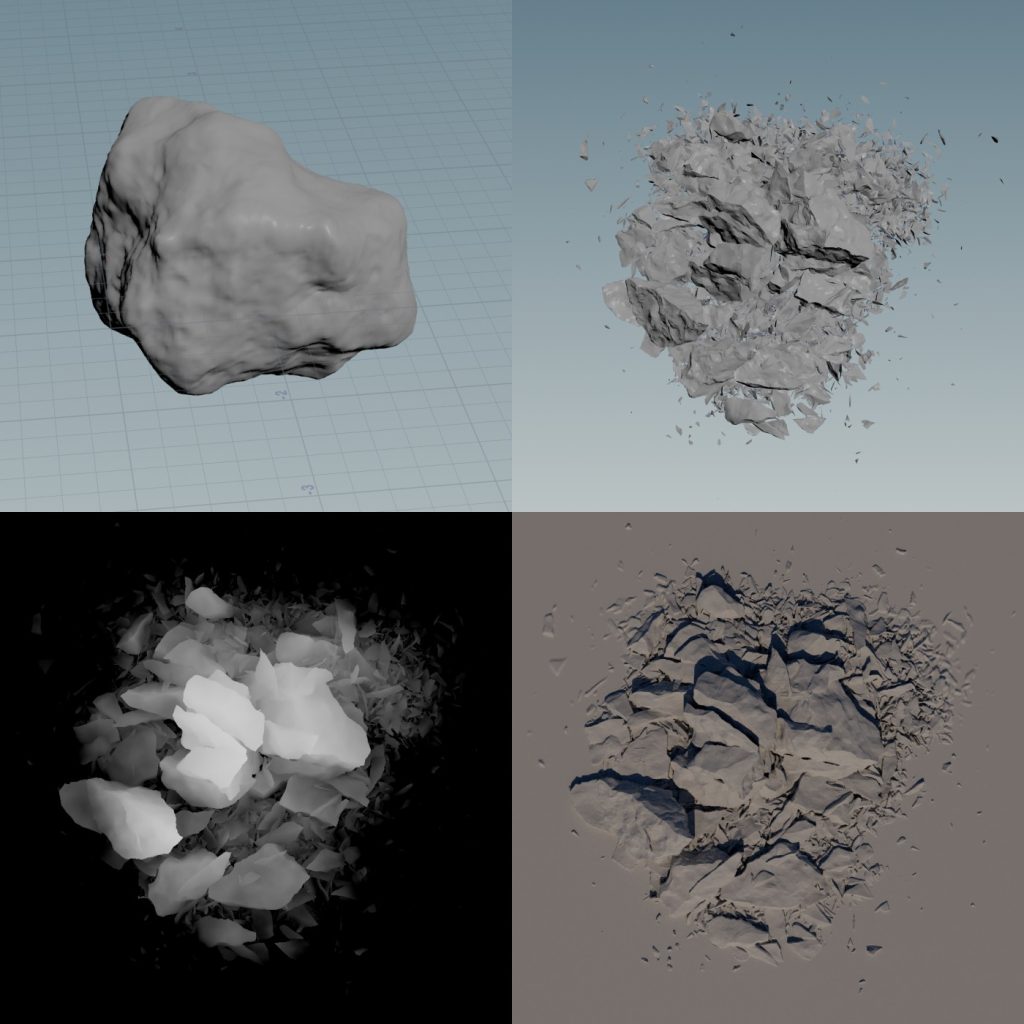
Boulders
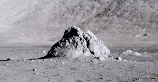
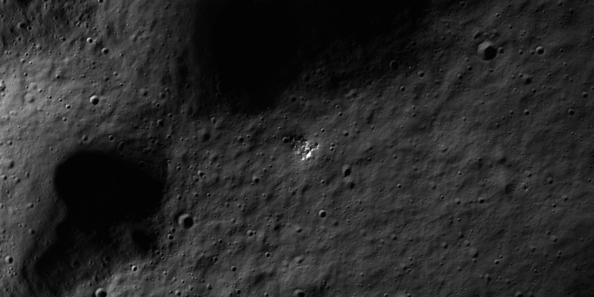
Lunar boulders vary in size and distribution, often forming as a result of meteorite impacts that fracture and scatter surface material. These features can act as hazards for landing spacecraft, requiring advanced navigation systems to detect and avoid them during descent.
Additionally, boulder fillets on the Moon are fine-grained deposits that form apron-like configurations around boulders, representing a key aspect of lunar soil development.
The erosion and fragmentation of boulders into smaller debris are modeled in simulations to enhance realism.
